Top Apps For Bike Travel That I Recommend For Overland Adventures
I first shared this post about apps for bike travel in 2013, at the time I was fresh off my charity bike ride around Europe, where I’d used paper maps and fallen in love with the romance of route planning in real time on the ground with a massive A2 snapshot in front of me.
The Time Traveller’s App
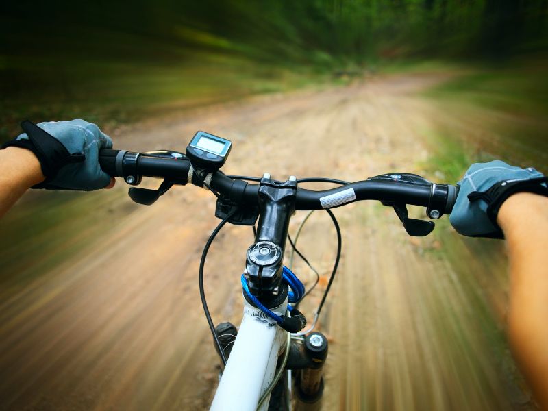
Planning a long-distance bike travel adventure isn’t what it used to be. A decade ago, I was marking routes on laminated maps with a Sharpie and hoping I didn’t miss a turn.
Now, with one hand on the bars and the other on a GPS-enabled phone, I can find the wiggliest line through the Alps, reroute around roadworks in India, or share my trail up a Himalayan pass.
The tech has come a long way, and so has the way we use it. If you’re still relying on the same tools you downloaded in 2013, it’s time for an upgrade.
This guide highlights the very best apps for bike travel in 2025, tools I’ve tested on the road, in the hills, and far off-grid.

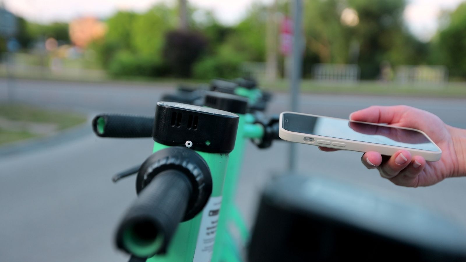
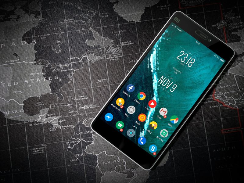
Your Smartphone: The Ultimate Tool for Bike Travel
I used to think phones were distractions on tour. Now? It’s my ride companion, route planner, translator, weather scout, campsite finder, crash detector and more, all rolled into one pocket-sized machine. But not all apps for bike travel are created equal.
On rides through the Himalayas, across Scotland’s national cycle routes, and weaving through Portuguese backroads, I’ve tested dozens of them.
This isn’t a list for tech bros or couch cyclists—it’s built for real-world adventurers. Wild campers. Long-haulers.
The kind of rider who plans with intention but lets the ride lead.
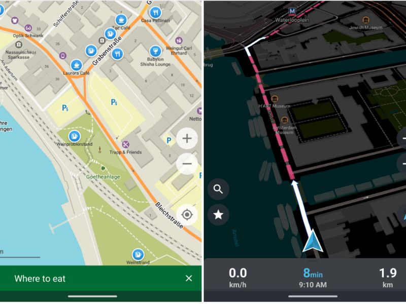
Route Planning & Navigation Apps for Bike Travel
Komoot
Komoot is hands-down my top choice for bike travel. Its planning interface is clean, intuitive, and surprisingly accurate when it comes to elevation, road surface, and estimated ride time. I first used Komoot on a Himalayan expedition.
The terrain changes fast out there, and Komoot handled it better than any other app. Offline maps saved me in Spiti Valley when I had no signal for two days. Great for building multi-day tours, syncing with GPS devices, and discovering highlights from other riders.
Ride With GPS
Ride With GPS is like the Swiss Army knife of bike travel apps. I used it to map a month-long ride from Goa to Kerala. Cue sheet generation is still the best in class, and you can edit routes down to the metre.
Elevation previews, voice nav, offline maps, and full integration with devices like Wahoo and Garmin. It’s precise, powerful, and built for long-distance bike travel.
OsmAnd & Organic Maps
Fully offline and open-source. OsmAnd is rich in features, but Organic Maps is faster and lighter. I used both in Ladakh, where the mobile signal was non-existent.
Privacy-respecting, free, and reliable when everything else fails. These apps for bike travel work best when connectivity drops to zero. Like the old Maps.Me platform but without the ads.
Gaia GPS
Topographic layers, custom map styles, and spot-on for backcountry touring. I used Gaia to explore village footpaths in Himachal Pradesh. Ideal for dirt-road touring and bikepacking off the beaten track.
Strava (AI Route Planner)
Strava’s AI planner pulls billions of rides into clever, crowd-sourced routing. I use it to find popular bike travel routes in new cities, like gravel paths near Goa or Edinburgh loops. Pair it with the global heatmap feature for an edge.
CoMaps
A minimalist, offline-first app forked from Organic Maps. I trialled it on a desert loop in Rajasthan—no signal, no problem. It won’t build your route, but it’ll hold the map line when everything else glitches.
Weather & Wind Forecasting Apps for Bike Travel
Windy
When cycling across Europe in spring, I’d check Windy every morning. It gives full forecast maps with wind direction, rain, and temp. Essential when plotting long open-road days, especially on the Hungarian plains.
MyWindsock
Plug your planned bike travel route in and get a forecast of how the wind will affect you over time. Saved me from soul-sapping headwinds on a loop from Edinburgh to the Borders.
Safety & Emergency Apps for Bike Travel
Flare
Flare is peace of mind, especially when riding solo in India. Auto crash detection, live tracking, and SOS alerts. I had it running on every remote ride through Arunachal Pradesh.
What3Words
Pinpoint your location with three simple words. Great when calling for help or guiding someone in. Used it to get rescued in rural Staffordshire after a mechanical failure.

Ride Logging, Sharing & Motivation Tools
Strava
Great for heatmaps and ride inspiration. I’ve used it to discover jungle trails in Goa and keep in touch with riding buddies back home. For riders documenting bike travel around the world, it’s a staple.
Ride With GPS & Komoot Logs
Perfect for documenting big rides. I shared a 30-day Rajasthan route through RWGPS and archived my UK coast-to-coast ride on Komoot. Both are excellent logging apps for bike travel.
MapMyTravels.app
Gamify your touring. Record your trips in an interactive map with this excellent new app. Build your own interactive map here
Accommodation & Hospitality Apps for Bike Travellers
Warmshowers
The gold standard for cycle hospitality. I’ve slept in barns, spare rooms, gardens, and garages—always hosted by people who get it. An essential app for bike travel on a budget.
Couchsurfing & Hostelworld
Not cycle-specific, but helpful in tourist parts of India and Eastern Europe when you just need a cheap bed and WiFi.
Urban Cycling & Infrastructure Tools
Bike Citizens
Navigates cities by bike without pushing you onto arterial roads. Used in Vienna, Lisbon, and Edinburgh. Ideal for bike travellers exploring busy capitals.
CycleStreets & Fill That Hole
CycleStreets helps find quieter UK routes. Fill That Hole is a great advocacy tool for reporting potholes and bad infrastructure. Both make urban bike travel more manageable.
Language, Currency & Connectivity Essentials for Global Bike Travel
Google Translate
Vital in Hungary, Romania, and northern Vietnam. Don’t just download the app—download the offline languages too.
XE Currency
Check exchange rates on the fly. I used it daily across the Balkans and South Asia. Essential for bike travellers watching their budget.
WiFi Map
Find free WiFi when you’re low on data. I used it to upload ride logs and download maps while touring Vietnam’s coast.
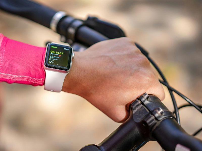
GPS Devices to Pair With These Apps
- Garmin Edge 1050 – Flagship-level touchscreen nav.
- Wahoo ELEMNT Bolt V2 – Rugged, easy to sync.
- Hammerhead Karoo 3 – Android-based, beautiful screen.
- Coros Dura – Solar-powered and built for ultra rides.
I personally ride with a Wahoo—it’s bombproof, simple, and never lets me down.
Real-World Ride Planning: My Setup
My standard process? Build the route in Komoot. Refine it in RWGPS. Export to Wahoo. Check the weather with Windy and MyWindsock. Back everything up with Organic Maps. And share it on Strava after a strong coffee.
It’s a layered system. Not perfect, but it works.
Final Thoughts on the Best Apps for Bike Travel
The right digital tools won’t make your legs stronger, but they will help you ride further, safer, and smarter. From planning to logging, from finding shelter to forecasting weather, these are the best apps for bike travel in 2025.
If you’re just starting your bike travel journey, begin with Komoot, Ride With GPS, and Organic Maps. Build your setup around what works for you. If you’re already riding the world, refine your system, test new tools, and ride smarter.
Got a favourite I missed? Drop it in the comments—I’m always game to try something new on the road.